於線或多邊形(Polygon)上產生固定距離的點並加入 GPS 座標 - QGIS

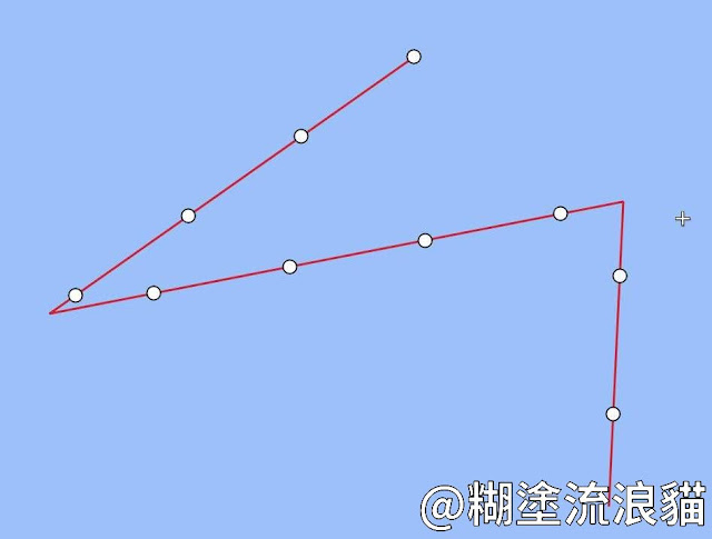
空間地理分析實務操作上,有時會需要在線段或多邊形上產生固定距離的點座標,讓現場操作人員能依照此距離放置信標。本文糊塗流浪貓將示範產生固定點、重新投影與 GPS 座標的過程。習病毒
產生固定點距
Processing Toolbox > Points along geometryDistance: 點之間的距離
Start offset: 起始距離
End offset: 結束距離
重新投影
Processing Toolbox > Reproject layer > EPSG: 3857 > EPSG: 4326產生 GPS 座標
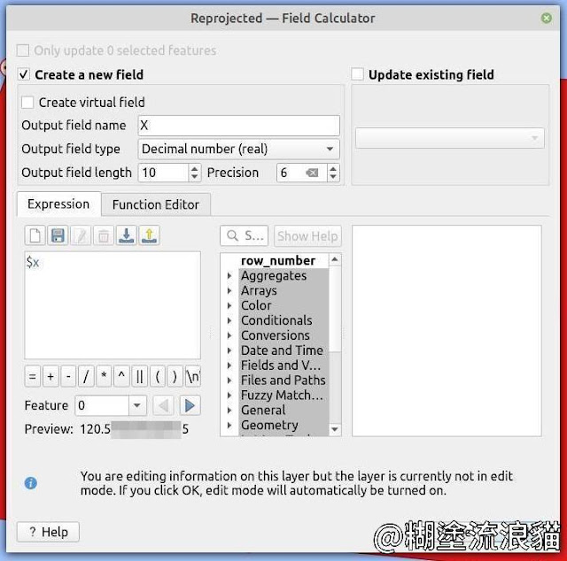
Field CalculatorCreate a new field: 勾選
Output field name: X
Output field type: Decimal number (real)
Length: 10
Precision: 6
Expression: $x
Expression: $y
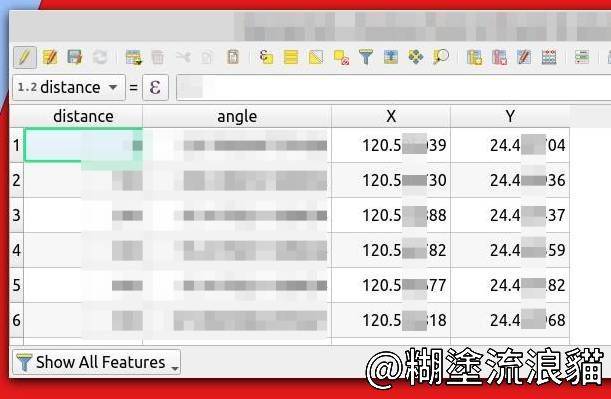
成果


留言
張貼留言
由於廣告留言太多,因此改採審核發佈,請耐心等候。
無法留言?請點我